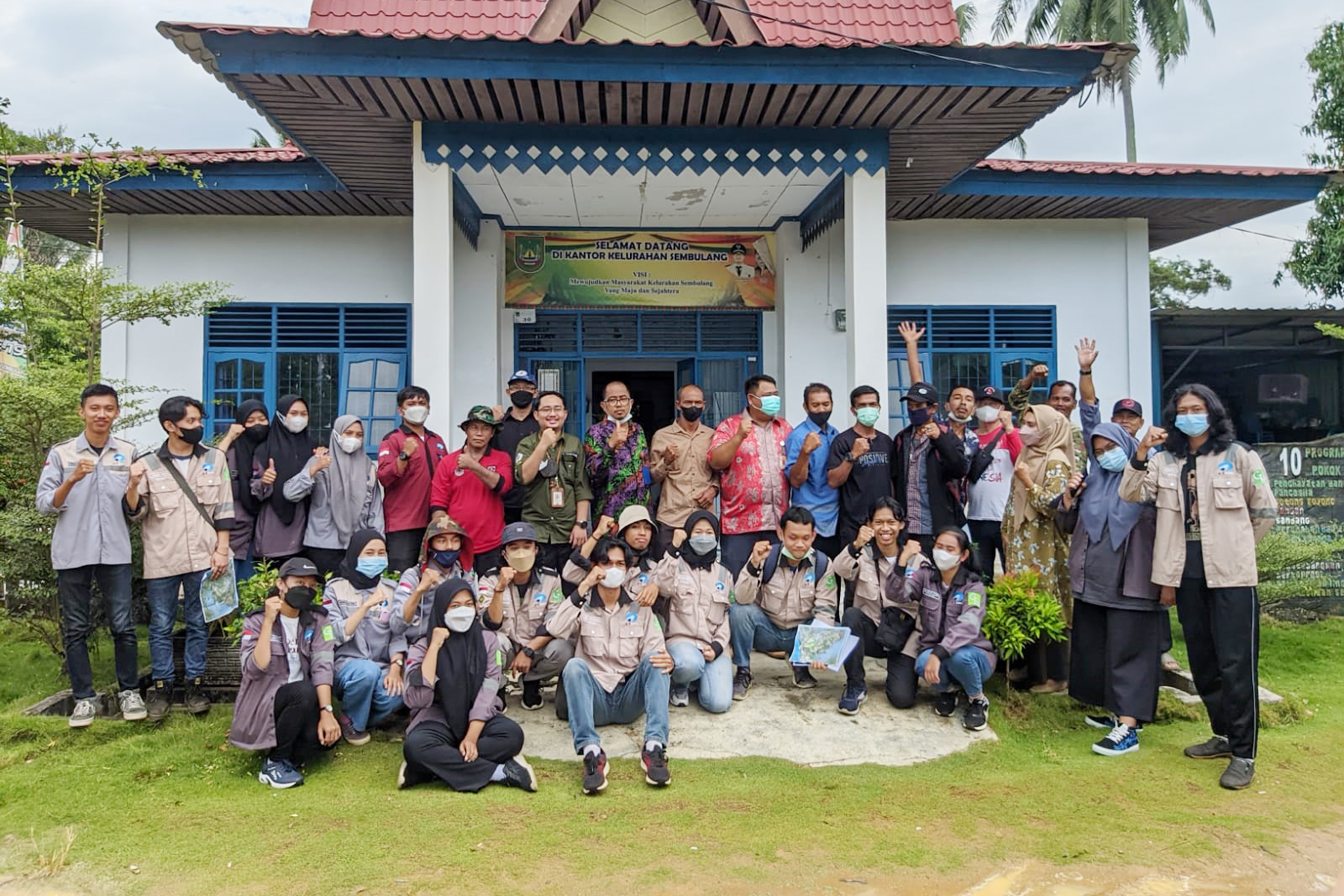
Polibatam Held PBL Activities and Cartometric Boundary Mapping Services for RT and RW in Sembulang Village

NEWS – Polibatam Geomatics Engineering Study Program conducted Project Based Learning (PBL) activities and Cartometric Community Service Boundary Mapping of RT and RW in Sembulang Village, Galang District, Batam City. PBL activities as well as Community Service carried out by the PBL team mapping the boundaries of RT and RW in a cartometric way at Sembulang Village, Batam City. This team consists of Project Manager which is also Lecturer, Ir. Oktavianto Gustin, MT., IPM., Sudra Irawan, S.Pd.Si., M.Sc., Farouki Dinda Rassarandi, ST, M.Eng., Arif Roziqin, S.Pd., M.Sc., Siti Noor Chayati, ST, M.Sc., Luthfiya Ratna Sari, S.Si, MT, Dr. Andy Triwinarko, ST., MT., Education Laboratory Institution, meaning Pranata Laboratorium Pendidikan (PLP) Rizki Widi Pratama, A.Md. Kom., Muhammad Ghazali, A.Md.T., and 26 Politeknik Negeri Batam students consisting of Renaldyanto, Arya Afrian Siregar, Muhammad Haiqal, Genta Hermawan, Yoni Pangestu, Agung Yahya, Shakira Kashifa Hammy, Namira Aulia Fitri, Melia Wandanita S., Rizky Damalina Harahap, Anwar Muliansyah, Stella Dwi Amanda, Yesi Permatasari, Nurhajijah, Githa Saputri, Rikha Erzalina, Monica Nofryanti S, Heryanus Yosefa, Jeremia Tarigan, Mardita Junior Sianturi, Febriyanti Marbun, M. Islam Alfithrah, Anugerah Dewa NS, Rizky Pernadi, Bahara PR Samosir, and Rafly Aditya.
This activity started at the beginning of even semester of the 2021-2022 academic year which is divided into several phases, there are: 1. Preparation phase, 2. Field phase, 3. Site surveys phase, 4. RT and RW boundary determination phase, 5. Regional boundary determination phase, 6. Field practice phase (data acquisition), 7. Post field phase of data processing, and 8. Making and reporting thematic maps.
This field activity was carried out for 2 days, on March 30th-31st 2022, which was located in Sembulang Village, Galang District, Batam City. In connection with a request from the Sembulang Village, Mr. Danang Prilasandi, SKM, concerned the need for clarity of administrative boundaries consisting of 11 RT and 5 RW have a purpose to orderly administration, legal certainty, regional fiscal calculations, minimize boundary conflicts, and identify regional potentials. Accordingly, the Geomatics Engineering study program at Politeknik Negeri Batam decided to carry out this PBL activity as well as community service in Sembulang Village, Galang District, Batam City.
The next phase until the end of the even semester is processing the area point data and determining the area boundaries that have been determined. This community service activity is integrated into learning activities at Politeknik Negeri Batam, i.e. PBL. Through this PBL activity, students are encouraged to learn to experience real projects in workforce and overcome problems that exist in community. The results of this activity with the lecturers’ direction and guidance produced various thematic map products such as RT and RW Boundary Maps, Coastal Characteristic Maps, Topographic Maps, Aerial Photo Maps. Aerial photo acquisition using DJI Phantom 4 RTK, while data processing using Agisoft software. The processing results obtained are Digital Elevation Model (DEM), Digital Surface Model (DSM), and Orthophoto. The results of point processing taken from the GPS Handheld for determining and confirming the boundaries of RT and RW of Sembulang Village are processed with ArcGis software. Each area and point boundary that has been determined has met the approval of each RT and RW and the groove.
With the Affirmation of Determination of Regional Boundaries for RT and RW, the expected output can be taken into consideration in making decisions for development in Sembulang area. The RT and RW Boundary Mapping Team in Sembulang Village hopes that this activity will be useful for all parties, including lecturers, PLP, and students for learning purposes and Sembulang community for the purposes of developing the area in the future.
#Polibatam #PBL #Geomatics #Sembulang

